We awoke early and waited to be picked up outside our local bakery, it was still dark and cold and we were concerned about the weather. We knew we had a 5 hour journey to Eceabat which was where our tour left from, so packed well – lots of warm things, snacks and activities to while away the hours.
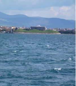
Surprisingly, after a couple of comfort stops, and time to stretch our legs (busses are as uncomfortable as planes for people with long achey legs) we were near, our first glimpse of the Dardanelles confirmed how busy a sea channel it was, with huge container ships plying against the strong current.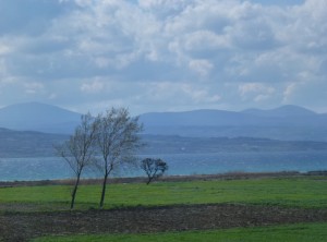
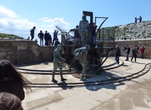
After lunch and a pit stop, we visited the “Narrows” which was the original blockade on the Dardanelles, and saw the cannon placements that, when coupled with the minefields made safe passage impossible through this important straight.
Most of the original cannon placements have long since gone but we got a feeling for the gun placement and learned of some local Turk valour and courage including adrenalin-fuelled shell carrying when the mechanical lift got blown up.
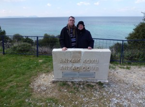
After exploring a number of possible landing sites and theories behind what happened and why, we arrived at a tiny beach named Anzac Cove.
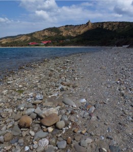
With headland running down to the beach and rugged steep hills as far as the eye can see, one can only imaging the confusion and difficulty the first few waves of troops faced until they began arriving around the point at North Beach. Their aim, head past the third ridge and take the hill, then work down back behind the gun placement at the narrows and take them out.
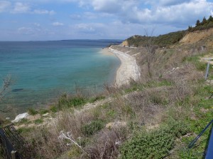
Seemingly not the ideal landing place, but stuff of legend none the less.
We walked through the cemetery, on to the beach and around the headland towards North Beach. In the distance we could see the first of a series of scaffolded arenas being set up for Anzac Day celebrations soon.
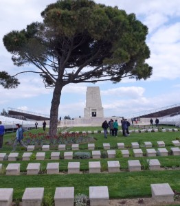
Leaving nothing but footprints, we headed up towards the arena, then into one of the many cemeteries (representing a tiny fraction of the fallen) that are punctuated throughout the area. A number of battle legends help personalise the battle, we saw “Simpson’s Grave” – one of many medics that evacuated wounded (he was famous for moving leg/arm wounded on a donkey).
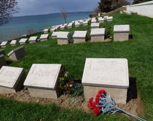
Selfies seemed strangely inappropriate, the area was revered by Australians and Turks alike.
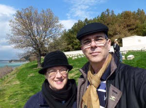
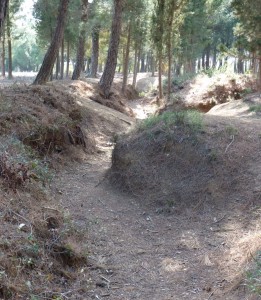
We then visited “Lone Pine” and realised that this was the site where the trenches were closest, no man’s land. Down the ridge apparently they played cricket during the evacuation to disguise the fact that they were leaving. It boggles the mind to think that the battle lasted here for 9 months when it was supposed to last only days according to Churchill.
Much to my surprise there are still remnants of allied and Turkish trenches riddled throughout the area, it gives you a grim picture of “Diggers” clawing an existence on a foreign and inhospitable series of hills.
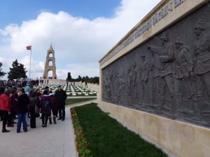
Near the end of our tour, we arrived at the ANZAC first objective (reach the hill after the third ridge) which was never achieved. It is now a Turkish memorial, and full of Turks taking selfies, kids on school trips.
The hilltop was cold and blustery – so much so that there was slush an tiny snowflakes landing on the bus window as we were waiting to leave. We returned to base for a pit stop before the long journey back to Istanbul. One of our comfort stops was at a roadside diner – we had a warm comforting bowl of Kofte stew (meatballs, potatoes, capsicum, carrots in a delicious tomatoey jus) which really hit the spot.
It was a huge day, we got back to our unit after 11pm exhausted but satisfied we now new more about the ANZAC legend and had a better sense of the battle theatre. I understand the importance of the objective, it is clear that the Dardanelles was an important passage but the casualty rate and planning of the whole campaign seems, in retrospect, to be a huge waste of life, resources and one hell of a way to “forge a nation”.

One Response to A hill too far – Our visit to Gallipoli