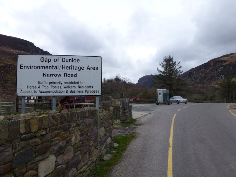
There are times when technology is terrific and others … well. We set “sheila” the google maps lady to take us towards the Dingle Peninsula and I am not sure what her settings are at the moment (am convinced it is ‘torment the tourist mode’) but she sent us up hill, in decreasingly smaller roads, until the road became a track across the paddock. Jo and I remember such a roller coaster when we had “plastic patsy” the Tom Tom and only panicked a little.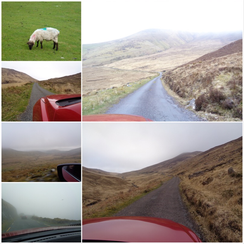
Up hill, down dale, beside this cow shed, over this blind hill, between these rocks, avoid those sheep until we emerged on route after what seemed like a major expedition to the wilds of Dingle. We then headed to Conor’s Pass, what turned out to be a sheep track clinging precariously to a green cliff, in deepest fog and cloud cover. Our outside visibility was a few meters- terrifying and hilarious on a single carriageway when you meet traffic coming the other way.
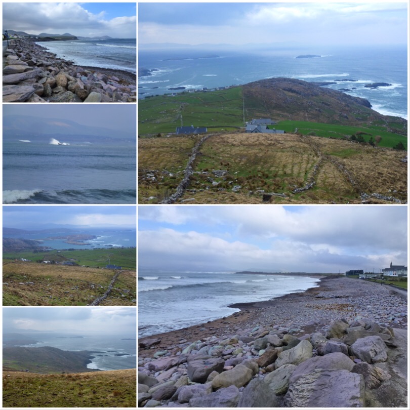
We survived, and headed to the cliffside drive that took us past the Potato Famine huts. When times were hard, and the potato crop failed, peasants did it tough. We saw tumble down stone stacks that were used as houses, along with tiny cottages that had many families crowded into them, perched on bleak hills being pummelled by stiff cold sea breezes- I think I would have made a lousy potato farmer.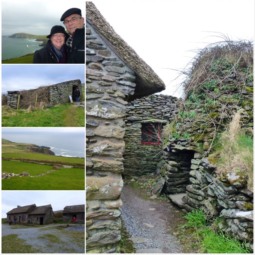
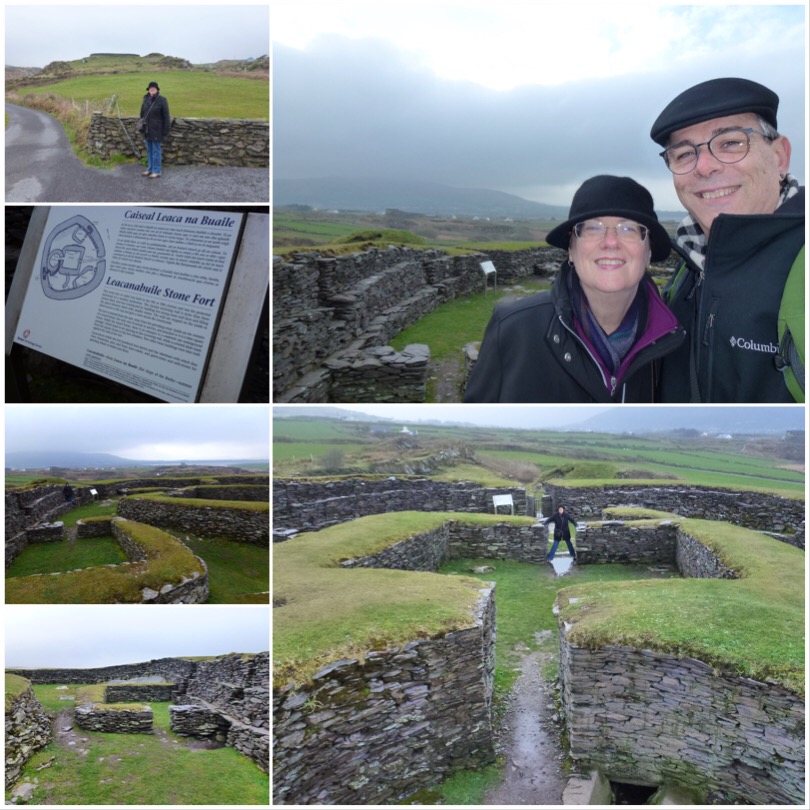
Among the cottages was an original ‘Beehive hut’ – a glorious ovoid hollow stacked stone structure that apparently were used originally by reclusive devout pilgrims for leading humble lives in, later for outdoor toilets and pig houses. Among the ruins were stone burial mounds (infant mortality was so high, unemployment was crippling so there was little to do but make babies). The church old not let unchristened kids be buried in church graveyards so families were forced to bury them at home. So tragic. We also saw the remains (much less than half) of an Iron Age Ring fort perched on a cliff, most of which had long tumbled into the sea. Read more

